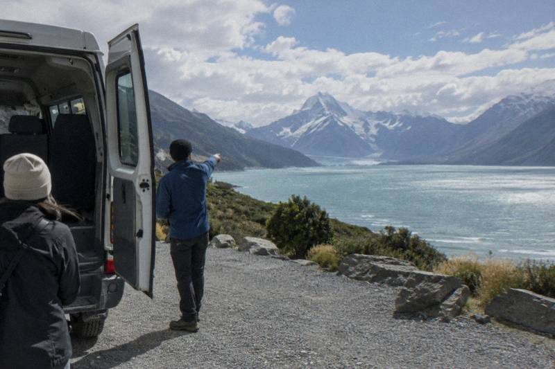
Tasman Glacier Retreat: Why The Lake Exists And What You See Today
Tasman Glacier is New Zealand's longest at 23 km, but the lake at its toe did not exist until 1974. Here is what the retreat has created and what a visitor can actually see now.
Short answer
Tasman Glacier is 23 km long, up to 3 km wide and covers 101 sq km, with ice about 600 m deep near the Hochstetter Icefall. It is retreating, and Tasman Lake, which did not exist until 1974, is growing as the ice melts. The lake is the reason a boat trip on it exists at all.
The Tasman Glacier is the giant of the Southern Alps. The Department of Conservation describes it as New Zealand's largest and longest glacier, 23 km long, up to 3 km wide and covering 101 sq km, with ice roughly 600 m deep near the Hochstetter Icefall. Yet the feature most visitors come to photograph, the grey lake at its snout, is one of the youngest landscapes in the country. Tasman Lake did not exist until 1974.
That single line from the Department of Conservation reframes the whole valley. The retreat of the ice created the lake, the lake created the boat trip, and the boat trip is now one of the few ways a general visitor gets onto a glacier lake without mountaineering gear. This guide lays out what DOC says about the glacier, the lake it made, and the ways to see both, from a free viewpoint walk to the boat on the water and the day trips that carry you into the park.
What Is The Tasman Glacier Retreat?
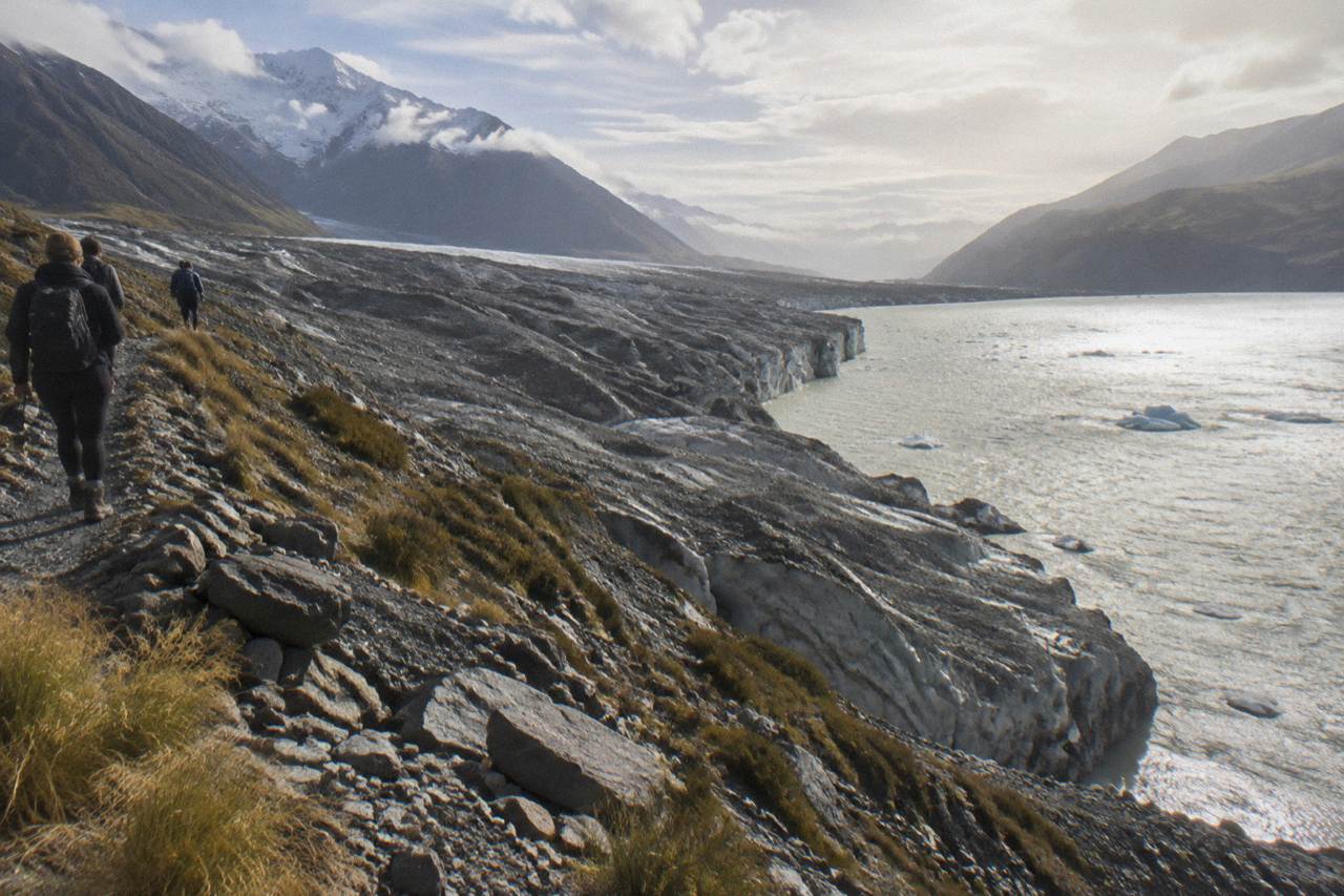
The retreat is the ongoing shrinkage of Tasman Glacier as the climate changes, a process the Department of Conservation states plainly: like glaciers worldwide, Tasman Glacier is retreating. The lower reaches are now rock covered, the ice pulling back from the valley it carved, and the meltwater pooling at its toe has formed a lake that keeps lengthening as the face withdraws.
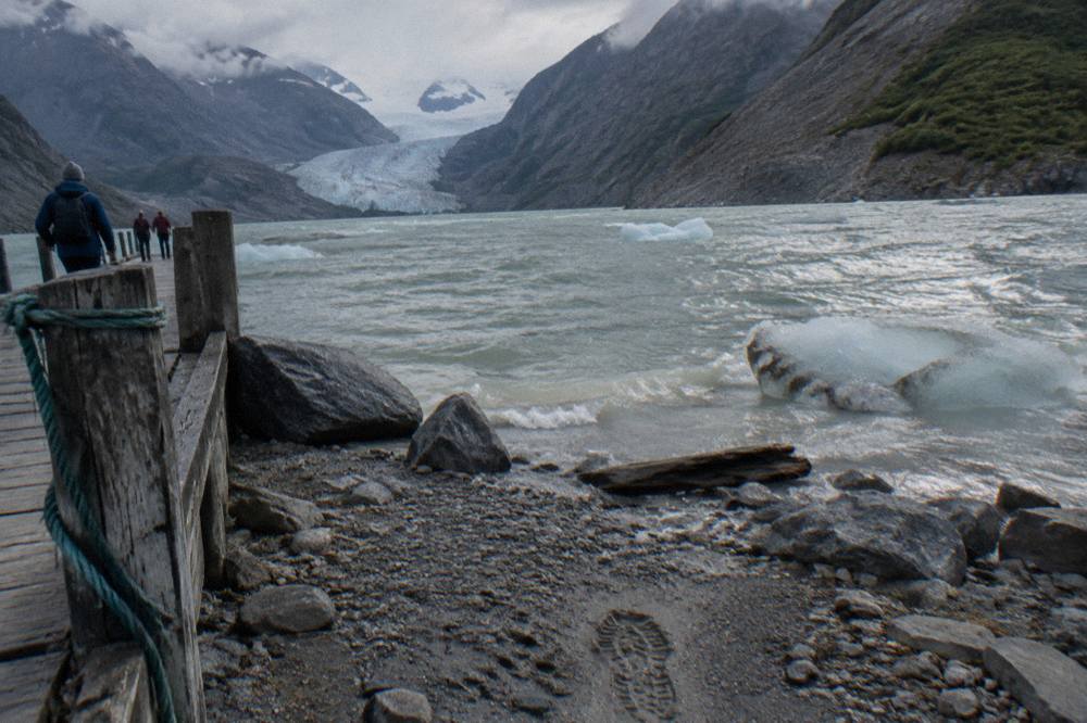
The Department of Conservation's park page gives the glacier its headline numbers. It is Haupapa / Tasman Glacier, the country's longest, stretching 23 km down from the high basins below Aoraki / Mount Cook, which itself stands 3,724 m and is New Zealand's tallest peak. Up to 3 km wide in places, the glacier covers 101 sq km, and near the Hochstetter Icefall the ice runs about 600 m deep. Those are sobering figures for what is, visually, a mostly brown and grey ribbon by the time it reaches the valley floor.
The lower reaches are rock-covered, DOC notes. The lower reaches are covered in rock fallen from the surrounding mountains, which insulates the ice but also hides it. The Department of Conservation notes the glacier is still clearly visible from the main highway at the park entrance, but the view from the water reflects the glacier's retreat.
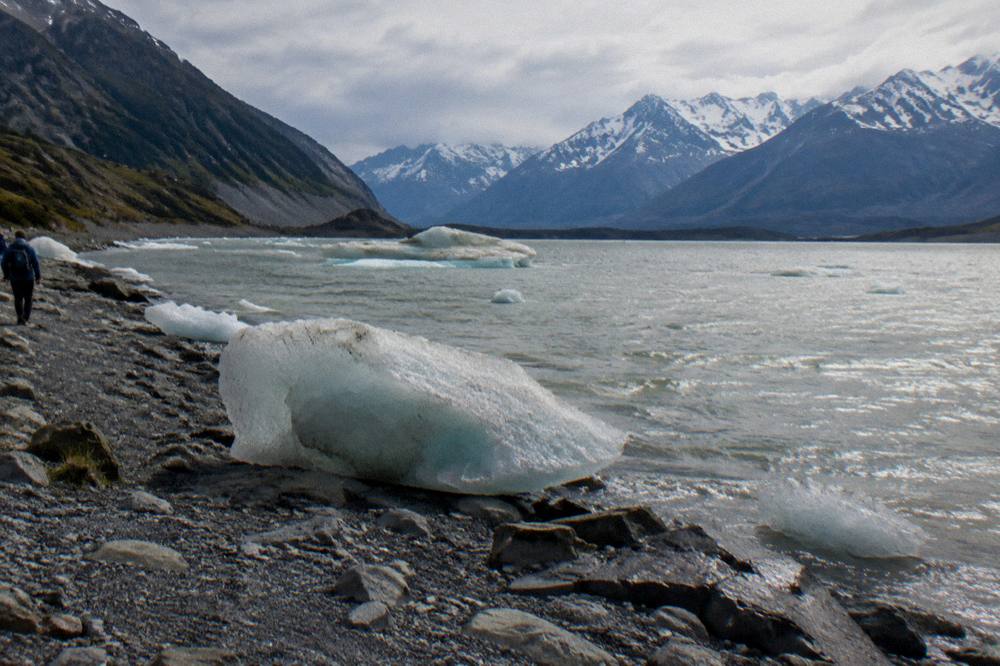
None of this makes the valley less interesting. It makes it a different kind of place: a landscape visibly mid change, where a new lake grows year by year and the walks and boat trips that serve visitors exist because of that change, not despite it. For the wider story of what floats on that new water, see the guide on icebergs on Tasman Lake.
| Fact | Figure | Source |
|---|---|---|
| Length | 23 km | Department of Conservation |
| Width | Up to 3 km | Department of Conservation |
| Area | 101 sq km | Department of Conservation |
| Ice depth near Hochstetter Icefall | About 600 m | Department of Conservation |
| Aoraki / Mount Cook height | 3,724 m | Department of Conservation |
| Tasman Lake first formed | 1974 | Department of Conservation |
Why Does Tasman Lake Exist At All?
Tasman Lake exists because the glacier is retreating. As the ice melts back, the hollow it leaves behind fills with meltwater, and the Department of Conservation records that the lake did not exist until 1974 and is growing rapidly as the glacier melts. The water body at the glacier's toe is, in effect, a receipt for the ice already lost.
A glacier in balance neither gains nor loses much length over the years. Tasman Glacier is not in balance. The face pulls back, the rock covered ice thins, and the meltwater that used to run out through the valley instead collects in the basin the ice has abandoned. Before 1974 there was no lake at all at the terminus. Today there is a lake long enough and deep enough to run boat trips on, fringed by icebergs that calve off the face from time to time, though, as the operator is careful to say, icebergs, calvings and rollovers cannot be guaranteed.
The lake's growth is the most tangible evidence of the retreat for a visitor. You do not need instruments to see it, you need a viewpoint. From the Tasman Glacier View Track above the lake you can see the full sweep of grey water, the glacier meeting it at the far end, and the rock walls of moraine on either side. DOC's own track description notes icebergs in the lake in summer and lake ice in winter, two completely different photographs from the same spot depending on season.
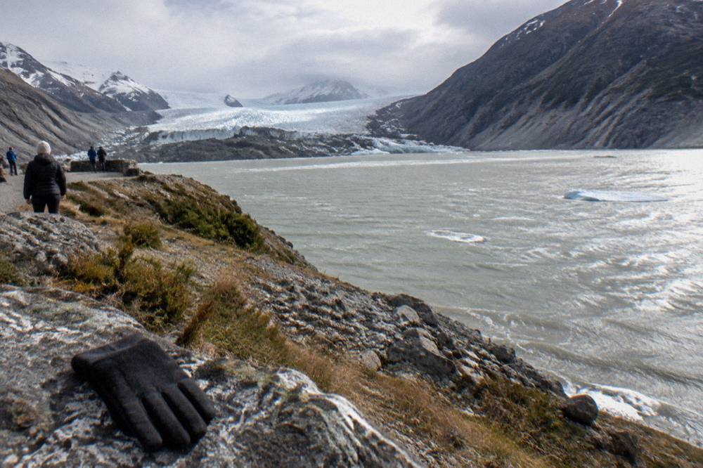
This is also why the valley has a boat at all. That claim belongs to the operator, but the underlying geography is DOC's to describe, and its park listing records boat tours on the Tasman Glacier terminal lake as a listed activity.
For most readers the practical question follows immediately: how do you get into this valley and see it with your own eyes? The selection below covers the most reviewed route in, a 13 hour small group day trip from Christchurch that includes lunch and 150 minutes of free time at Mount Cook.
The three day trips above all run from Christchurch, all take about 13 hours end to end, and none of them includes the boat, a point worth fixing early: the boat is booked separately, directly with the operator, and no day trip on this site bundles it.
How Fast Is The Tasman Glacier Retreating?
There is no single speed figure that honest sources agree on for publication, and the Department of Conservation does not publish a metres per year number on its park pages. What DOC does state is that the glacier is retreating as the climate changes and that the lake is growing rapidly, which is the measurable, visible form the retreat takes for anyone standing at the viewpoint.
Be wary of precise retreat rates quoted in travel articles. Numbers circulate online, but they vary by measurement period, by which part of the glacier is measured, and by how the rock covered lower section is interpreted. The Department of Conservation's track and park pages stick to the defensible statements: the glacier is retreating, the lake did not exist before 1974, and it is growing rapidly. For a general reader planning a visit, that is the honest answer, and any more precise figure deserves a citation you can check.
What you can do is observe the retreat's structure. The lake is the clearest gauge, because its shoreline and its far end are pinned to the ice face. As the face withdraws, the lake lengthens. The second gauge is the rock cover itself: a healthy, advancing glacier carries clean ice to its terminus, while a retreating one in a steep mountain valley accumulates debris on its surface, which is exactly what the lower Tasman now shows.
| Sign of retreat | What a visitor can see | Where to look |
|---|---|---|
| Terminal lake | Grey water body at the snout, growing since 1974 | Tasman Glacier View Track viewpoint |
| Rock covered ice | Brown rubble surface over the lower glacier | Any view down the valley from the track |
| Icebergs | Ice fragments calved from the face, quantity varies | The lake surface, summer especially |
| Moraine walls | Rock ridges flanking the lake and valley | Both sides of the Tasman Valley |
The retreat is not an abstract worry for the visitor economy either. Weather and lake conditions can still cancel any departure, with the Head Guide deciding just before each trip; an alternative time or a full refund is offered when that happens, so check the cancellation terms when you book.
What Can You Actually See Of The Glacier Today?
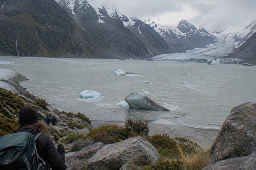
From the Tasman Glacier View Track you see the lake, the rock covered glacier meeting it at the far end, and the high ice fields beyond, in a 30 minute return walk with 300+ steps. From the boat you see the lake surface and the terminal area from water level across about one hour on the lake, conditions permitting. Clean blue ice is mostly a distant view.
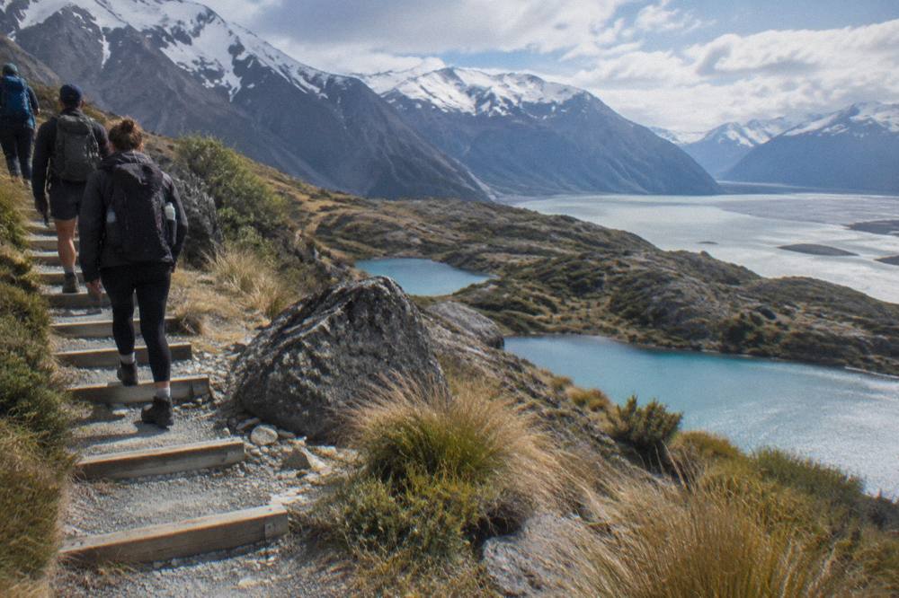
The two experiences split neatly. The viewpoint, described in detail in the guide to the Blue Lakes and Tasman Glacier view walk, is short, free and needs no booking: DOC lists it at 1.5 km return, about 30 minutes return, an easy to intermediate track with a short steep climb and 300+ steps. Ten minutes of steps brings you to the first of the Blue Lakes, which despite the name look green today, fed by rainwater as DOC notes, and another five minutes reaches the viewpoint over the lake.
The boat is the water level version. Glacier Explorers, run by The Hermitage Hotel, runs a trip of about 2 hours 45 minutes including transfers, an alpine walk and around one hour on the lake. It is booked directly with the operator by phone or email, at from NZ$219 for adults aged 15 and over, from NZ$99 for children aged 4 to 14, and a family pass from NZ$576, prices the operator can change. The boat is not included in any day trip, and it is not sold here.
A third option sits between the two. The Tasman Lake and River Track, reachable from the View Track, is DOC's 50 minute, 2.5 km return alternative if the 300+ steps are unsuitable, and it gives a lower, closer view of the lake edge without boarding anything. DOC's hazard note applies to all of it: Tasman Lake and the surrounding moraine rock walls have serious hazards, so know the risks if you choose to explore beyond the viewpoint.
| Way to see the glacier | Time | Effort | Cost basis |
|---|---|---|---|
| Tasman Glacier View Track | 30 min return | 300+ steps, short steep climb | Free, no booking |
| Tasman Lake and River Track | 50 min return, 2.5 km | Lower gradient alternative | Free, no booking |
| Glacier Explorers boat | About 2 h 45 min door to door | 1.5 km walk each way in about 25 min | From NZ$219 adult, booked direct |
Is It Safe To Walk Beyond The Viewpoint?
The Department of Conservation warns that Tasman Lake and the surrounding moraine rock walls have serious hazards, and advises visitors to know the risks before exploring beyond the viewpoint. The maintained tracks and the guided boat are the managed options, and the unmarked moraine and lake shore beyond them are not places for casual exploration, however inviting they look in photographs.
The moraine walls that flank the lake are unstable piles of loose rock. The lake itself is cold, deep in places and carries ice. DOC's warning is not boilerplate, it reflects the specific geography of a young lake growing into unconsolidated debris. The safe perimeter is well defined: the DOC tracks above, the operator's jetty and boat at the water, and the guided trips that operate under the Head Guide's daily go or no go decision. The rest of the planning pages sit on Tasman Glacier Boat Tour.
For walkers, the practical rules follow from the terrain. Stay on the marked tracks, keep to the viewpoint, and treat the shoreline below the track as out of bounds. The full detail on access, parking and the walk itself is in the guide to the Tasman Glacier car park and road. The Tasman Valley car park is free, per DOC, about 10 minutes' drive from the village, and very busy from November to April, when large tour groups use the track.
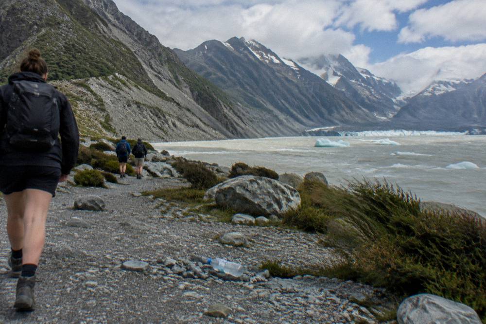
Weather adds a second layer of caution. Conditions in the Tasman Valley change fast, and snow can close the access road in winter. Before driving, check the DOC park conditions and the state highway 80 road status, and for the mountain forecast see the MetService Aoraki Mount Cook page. The Hermitage also runs a live valley webcam worth a look before you set out.
How Does The Retreat Change The Boat Trip Experience?
The retreat made the boat trip possible and keeps changing it: the lake only formed in 1974, the icebergs on it come from a face that keeps moving, and the walk from the bus stop to the jetty takes about 25 minutes each way. Guests walk 1.5 km each way in about 25 minutes on an uneven, rocky track with a relatively steep slope at the end, a requirement, not a suggestion.
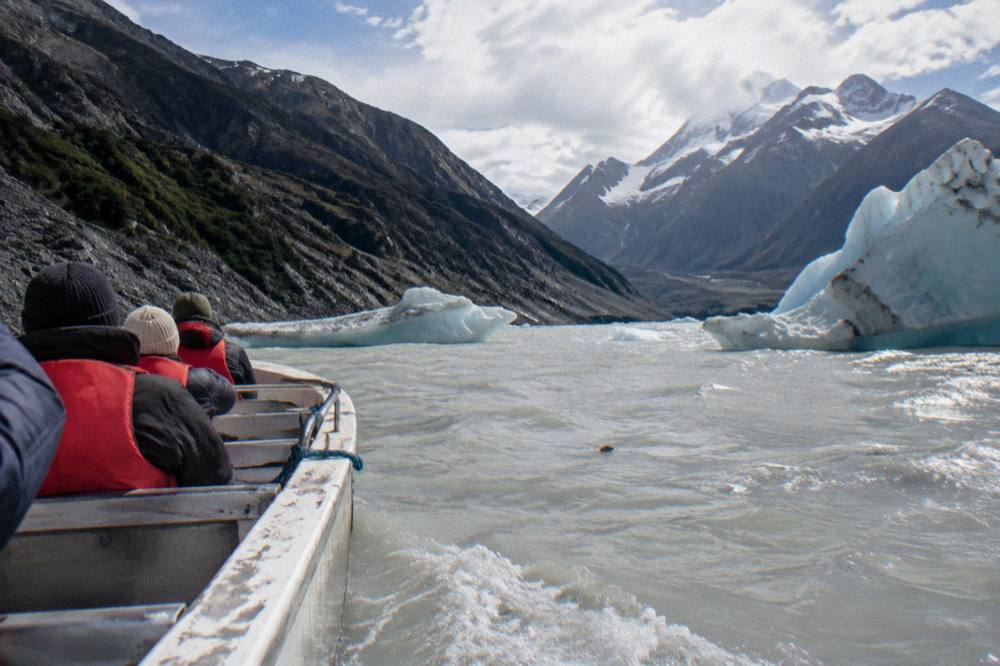
That walk is the part of the boat trip most often underestimated. The operator's fitness rule is explicit: guests must be fit and able to walk the 1.5 km to and from the lake edge in 25 minutes. The track runs through the national park with small hills up and down, an uneven surface, loose rocks and a relatively steep slope down to the lake at the end. It is not the same walk as the DOC viewpoint track, and the two should never be conflated: one is a 30 minute return stair climb to a lookout, the other is the boat's access route to the water.
The minimum age is 4, the operator calls the trip suitable for families, and children aged 4 to 14 pay the child rate while anyone 15 and over pays the adult rate. What to wear follows the terrain: warm layers, sturdy walking shoes for the uneven ground, a waterproof jacket, sunglasses and sunscreen, with additional equipment provided by the operator where required. Bookings are made by phone or email only, and the operator recommends pre-booking due to high demand, ideally when booking accommodation.
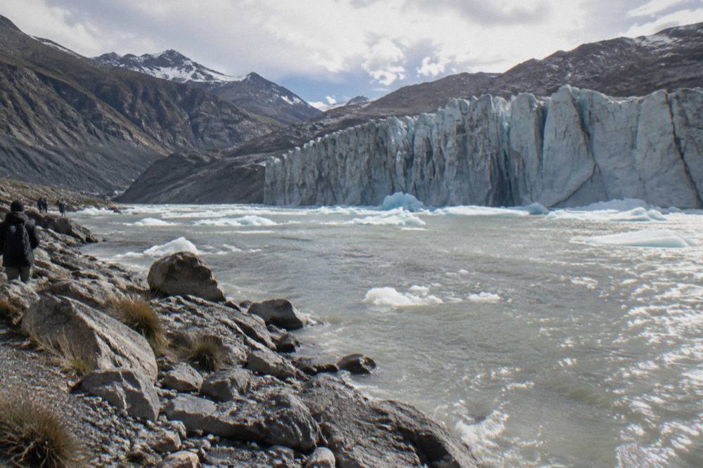
On the water, the retreat delivers the spectacle. Icebergs, calvings and rollovers cannot be guaranteed, the operator says, but are a wonderful bonus, and conditions permitting, guides often retrieve glacier ice from the lake so guests can see and handle it. One hour on the water, framed by moraine walls, under a glacier that is visibly pulling away from the shore it stood at within living memory, is the retreat made personal.
Can You Combine The Boat With A Mount Cook Day Trip?
Yes, but only with careful timing, and never as an inclusion: no day trip includes the boat, and only one departure leaves enough free time on paper. The boat needs about 195 minutes door to door, check-in 30 minutes before departure plus the 2 hour 45 minute trip, and only the Queenstown small group tour, with 210 minutes of free time at Mount Cook Village, nominally covers that, subject to checking times with both operators.
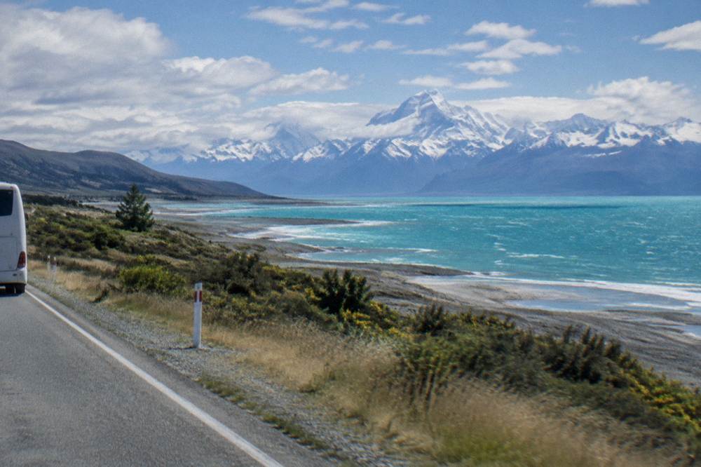
The arithmetic is unforgiving and worth walking through. Christchurch day trips covered here typically allow about 1.5 to 3 hours at Aoraki / Mount Cook, while the boat needs 2 hours 45 minutes plus a 30 minute check-in, so the boat does not realistically fit on those itineraries. The Wanaka day trip states 120 minutes of free time, which fits even less. The Queenstown small group scenic tour is the single exception, with 210 minutes of stated free time, and even there the fit is on paper only: confirm the timing with both the day tour operator and the boat operator before relying on it.
| Day trip | Start city | Free time at Mount Cook | Boat fits on paper? |
|---|---|---|---|
| Small group scenic tour, up to 12 h | Queenstown | 210 minutes | Just, check both operators |
| Mount Cook and Lake Tekapo day tour, 13 h | Christchurch | 150 minutes | No |
| Mount Cook and Lake Tekapo tour with lunch, 13 h | Christchurch | 150 minutes | No |
| Carbon neutral small group tour, 5 h | Lake Tekapo | 150 minutes | No |
| Wanaka day tour, 10 h | Wanaka | 120 minutes | No |
The alternative that always works is staying a night. A day trip in, a night in or near the village, and a boat departure the next morning removes the timing squeeze entirely, and the guide on where to stay near Mount Cook for the boat trip covers the options. For readers set on a single day from Queenstown, the fuller analysis is in which Mount Cook day trip leaves time for the boat.
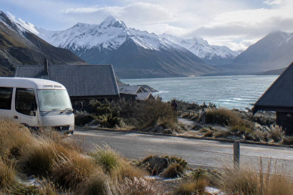
Among Christchurch departures, the most reviewed option is the 13 hour Mount Cook and Lake Tekapo day tour, rated 4.8 across 658 reviews, from $144 per person, with hotel pickup, lunch included, and the Tasman Glacier viewpoint walk on its itinerary. The 150 minutes of free time it allows at Mount Cook suits the viewpoint walk well, and the boat is best treated as a separate plan on a separate day.
Readers starting from Tekapo have a shorter, cheaper way in. The Tekapo Shuttle's Mount Cook day tour runs 8.5 hours from Lake Tekapo at from $94 per person, rated 4.8 across 441 reviews, and includes the Tasman Glacier viewpoint walk, though lunch is not included and its free time figure is not stated. From Queenstown, the small group scenic tour that uniquely leaves 210 minutes of village free time costs from $160 per person and is rated 4.7 across 310 reviews, with hotel pickup and Sir Edmund Hillary Alpine Centre admission included.
What Does The Retreat Mean For A Visit In The Next Few Years?
Practically, it means go informed, not discouraged: the glacier is still 23 km long, the viewpoint and the boat both operate, and the lake keeps growing. Book the boat direct with the operator, treat icebergs as a bonus rather than a promise, and confirm the season notes, since winter lake ice can close the boat and winter dates should be checked with the operator.
Winter lake ice can close the boat, so check winter dates with the operator; the season and times guide sets out what each source says.
The long view is a valley still in transition. Tasman Lake is growing rapidly, the face keeps withdrawing, and each season's photographs differ a little from the last. Visitors who walk the viewpoint, ride the boat and read the landscape honestly, rock cover where clean ice stood, green lakes where the name says blue, a water body younger than most of its visitors, get far more from the place than those chasing a postcard that no longer exists. The retreat is the story, and the valley tells it plainly.
For planning the full day, the guide to Mount Cook day trip stops and the itinerary breaks down what a tour day actually contains, from Lake Tekapo to the Pukaki lookout to the village free time.
If a day trip forms the backbone of the plan, these three Christchurch departures cover the range: the most reviewed standard option, a lunch-inclusive Mercedes Sprinter variant, and a small group tour at a slightly higher from price.
Common Questions About The Tasman Glacier Retreat And The Lake
How Long Is The Tasman Glacier?
The Department of Conservation lists Tasman Glacier at 23 km long, up to 3 km wide and covering 101 sq km, with ice about 600 m deep near the Hochstetter Icefall. It is New Zealand's longest glacier.
When Did Tasman Lake Form?
The Department of Conservation states that Tasman Lake did not exist until 1974 and that it is growing rapidly as the glacier melts. The lake is a direct product of the retreat.
Can You See The Retreat From The Viewpoint?
Yes. The Tasman Glacier View Track, a 30 minute return walk with 300+ steps, looks straight down the lake to the rock covered glacier at its far end, and DOC notes icebergs on the water in summer and lake ice in winter.
Is The Boat Trip Included In A Mount Cook Day Trip?
No. No day trip includes the Glacier Explorers boat. It is booked separately, directly with the operator by phone or email, and its roughly 195 minute door to door time must be checked against any day trip's free time at the village.
Is It Safe To Go Beyond The Viewpoint?
DOC warns that Tasman Lake and the surrounding moraine rock walls have serious hazards, and advises knowing the risks before exploring beyond the viewpoint. Stick to the marked tracks and the guided boat.
Is The Glacier Still Worth Seeing If It Is Retreating?
The glacier is still 23 km long and the valley it fills is dramatic, with a growing lake, moraine walls and iceberg activity that varies by season. The retreat changed what you see, not whether there is something to see.